Accelerating the transition towards a more sustainable future
We deliver innovative technologies based on digital twins to improve decision-making, foster collaboration and engagement, and manage critical infrastructures.
Let's get startedData is at the core of transforming our cities and industries and plays a crucial role in understanding current conditions and future trends. By seamlessly integrating and analyzing vast amounts of data, digital twin solutions provide an immersive and data-rich experience that transform how you plan, build, and optimize your projects. Dive into the world of limitless possibilities, where data-driven simulations meet real-world applications.

By bringing data to life, we provide the insights and tools needed to face modern challenges related to digital transformation, climate resilience, and decarbonization that resonate across industries and communities.

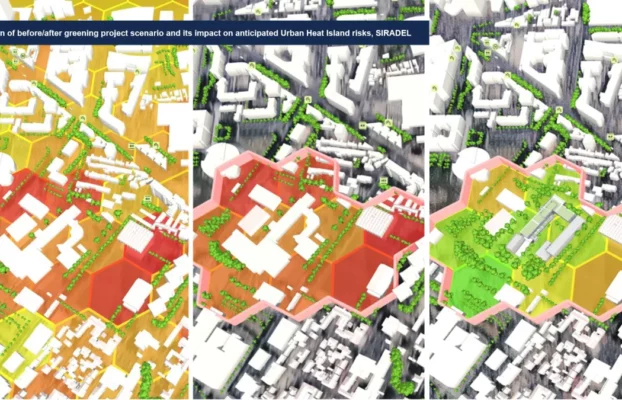
Cities & Regions
Driving systemic transformation in urban planning,
mobility, and quality of life

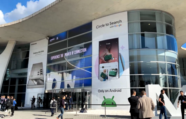
Telecom

Optimizing wireless network design to improve
efficiency and reduce cost

Industries

Achieving operational objectives, ensuring business
continuity and managing risks

Energy

Improving energy efficiency to achieve net-zero
carbon emissions
A trusted subsidiary of the ENGIE Group, we offer digital solutions that translate into tangible results: reduced energy consumption, improved infrastructure planning, and greener, more livable cities.

3D modeling and geodata


Data and AI


Software development


Consulting and project management

From industry updates to expert analysis, we keep you informed and ahead of the curve. Dive in to discover fresh perspectives and stay at the forefront of innovation.