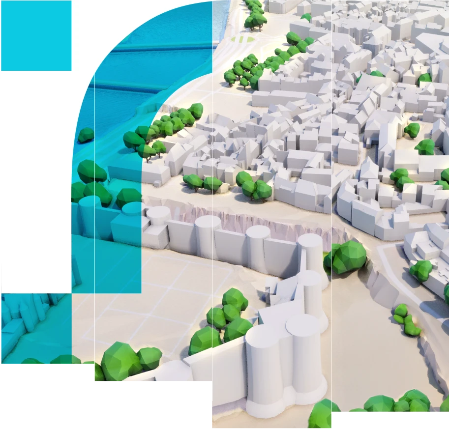
Exploiting and adding value to local data with the digital twin
Territories are an inexhaustible source of data. To make the most of it, it is essential to be able to interpret and leverage it effectively. This understanding and use of data is crucial to the development and management of your territory.
With digital twins, get a comprehensive vision to facilitate decision-making, optimize resource management and reinforce stakeholder engagement.
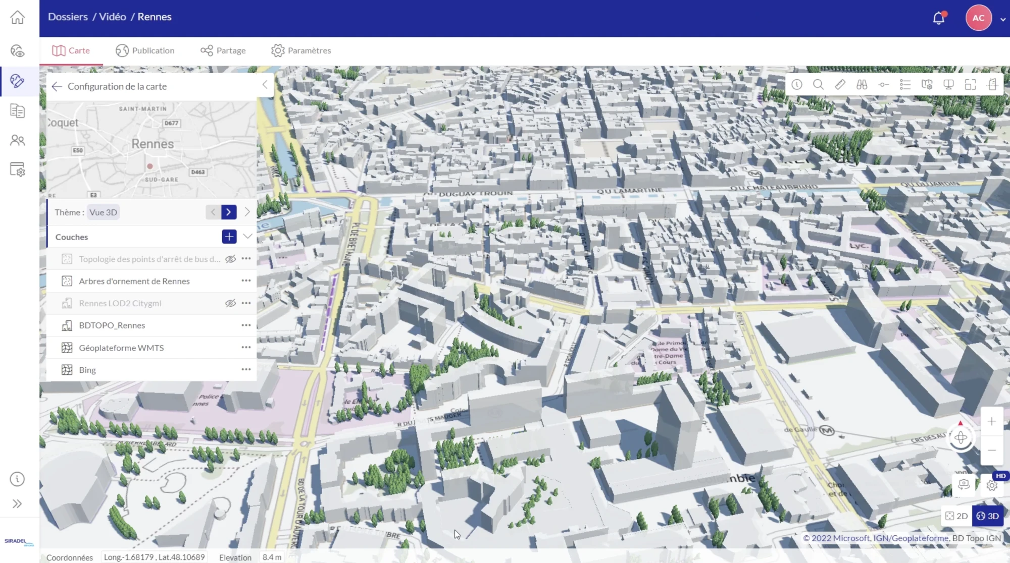
Immerse yourself in your territory by creating maps that enable the aggregation and visualization of all its data.
Create your own maps in just a few clicks to visualize your city’s data in an accurate, realistic 3D representation.
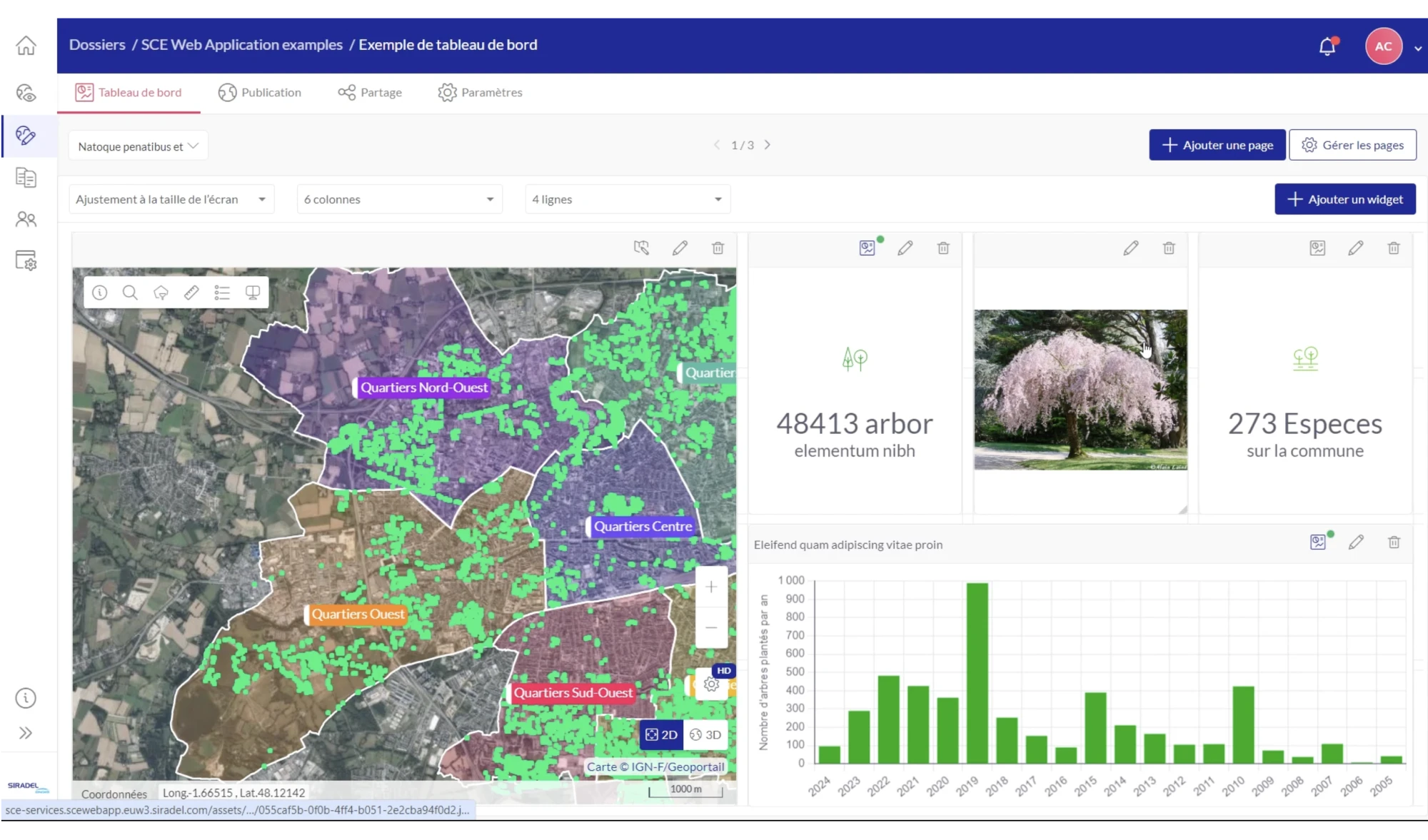
Enhance your data with scripting and storytelling tools.
Create interactive dashboards to present your analyses and projects for urban transformation and development.
Facilitate decision-making, prioritize actions and optimize resources and costs.
Share your maps and analyses to facilitate collaboration within your teams.
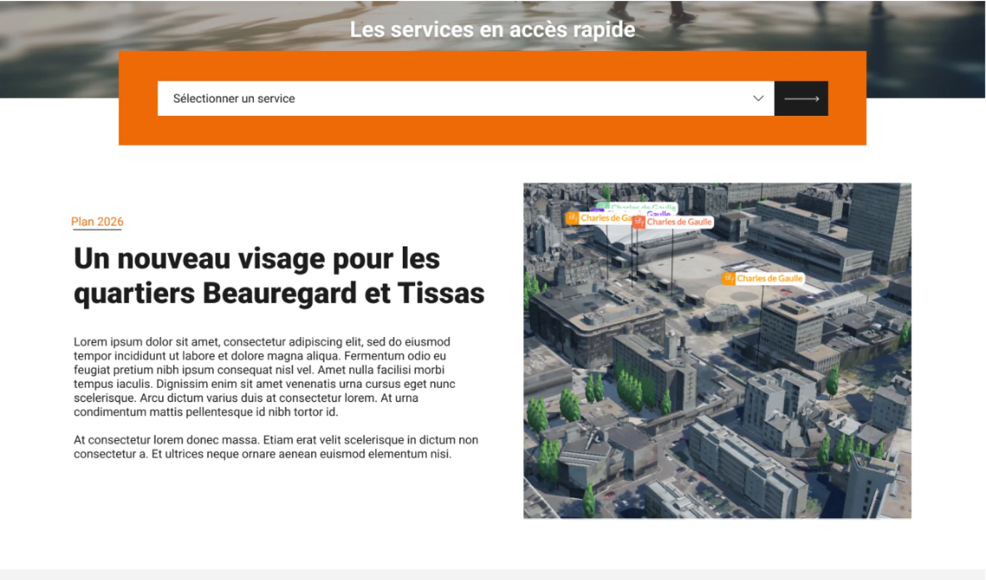
Communicate this information, both internally and externally, using interactive and visual tools to foster the understanding of decisions as well as stakeholders and citizens commitment.
Today’s cities and regions face major risks (flooding, heatwaves, coastal erosion, etc.) which are amplified by global warming.
Digital twins make it easier to define and implement action plans to enhance climate resilience within cities and regions.
They can be used to carry out diagnoses, identify priority actions and their impacts for a large panel of use cases: mitigating urban heat islands (UHIs), floods prevention, greening strategies, potential for rainwater disconnection…
Achieving carbon neutrality by significantly reducing greenhouse gas emissions is a key objective for local authorities, and one that is reinforced by government policies.
Digital twins are a powerful tool to this end, offering a faithful representation of the territory allowing to address various use cases: energy potential of buildings (photovoltaic solar potential, simulation of the impact of energy renovation), improving urban mobility (soft mobility, networks of EV charging stations), distribution of renewable energies (DHC networks)…

Improving citizens’ quality of life is a key concern for cities and regions. Digital twins are innovative tools to enhance quality of life within the city by enabling optimized management of urban planning and transformation projects.
They can be used to address a wide range of local issues that have an impact on citizens’ quality of life: environmental monitoring (air quality, noise exposure, etc.), urban planning and construction works (coordination of construction sites, simulation of construction works impacts), development of essential services for citizens (quarter-hour city), etc.

