We design custom digital experiences that blend UX/UI design, 3D modeling, and interactive storytelling to elevate your projects and engage your audiences.
Designers, 3D creators, visual thinkers and storytellers — we bring your ideas to life through tailored digital experiences.
Intuitive interfaces, immersive environments, interactive narratives: we combine UX/UI, interactive 3D, and visual storytelling to showcase your projects and captivate your audiences.
From the first sketch to the final version, we turn your needs into memorable experiences.

creative experts dedicated to your projects

integrated areas of expertise

projects delivered
A multidisciplinary, multi-format approach (3D visuals, videos, training…) to transform your ideas into outstanding digital experiences.
We design intuitive interfaces and optimized user experiences for all types of digital platforms.
Creating immersive 3D environments and experiences to capture your audience’s attention.
Visualizing geographic data and producing detailed 3D models to support your planning and development projects.
Crafting distinctive visual identities and impactful art direction tailored to your goals.
Ready to bring your creative vision to life?
Contact us and let’s discuss your next project.
Our solutions help you tackle communication, promotion, and digital transformation challenges.
Build a strong and coherent brand identity
From visual strategy to graphic design, we shape distinctive identities that resonate with your audiences.
Improve adoption and usage of your digital services
User-centered web and mobile interfaces designed for ease of use and meaningful engagement.
Design intuitive data & map interfaces
Complex data visualizations, dashboards, interactive maps… Our expertise serves clarity and decision-making.
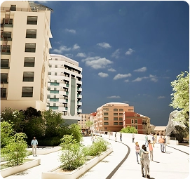
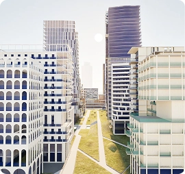
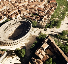
Showcase your urban development projects
Immersive 3D visualizations to present urban plans and support public engagement.
“Gamify” your training experiences
Serious games and playful experiences to boost learning and comprehension.
Make an impression at events
Games and immersive animations to capture attention and spark conversation
Make a difference in your RFP responses
Innovative, interactive 3D presentations to set you apart from the competition.
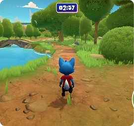
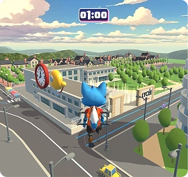
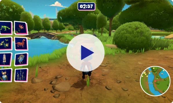
SERIOUS GAME | 3D | EVENT
Serious Game for a Public Event
The Siradel Studio designed a custom video game to let visitors explore the richness of the Île-de-France region in a fun, interactive way. Developed as a collaborative experience, this project blends technology, design and storytelling.
The project involved several key areas of expertise:
- Custom, intuitive UX/UI design
- 3D modeling of the region for realistic immersion
- Development of a custom physical controller for engaging interaction
A unique experience at the crossroads of education and entertainment, enabling visitors to rediscover their region in a whole new way.
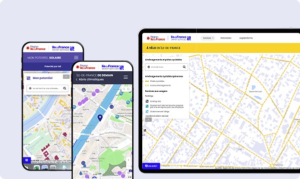
UX/UI DESIGN | INTERACTIVE MAPS | PUBLIC SECTOR
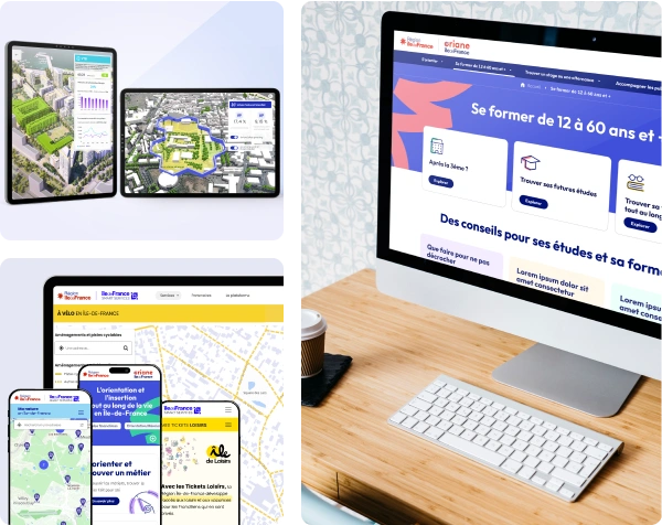
Co-designed platform for digital public services
As part of the ISS (Île-de-France Smart Services) initiative, the Studio supported the UX/UI design of a web platform built on a regional 3D digital twin, making territorial data more accessible, interactive and useful for public authorities, businesses and citizens.
Our work included:
- Large-scale 3D modeling of the region
- Interactive map design
- UX/UI design of the platform and service interfaces
An evolving platform built for users, to support the region’s digital transformation.
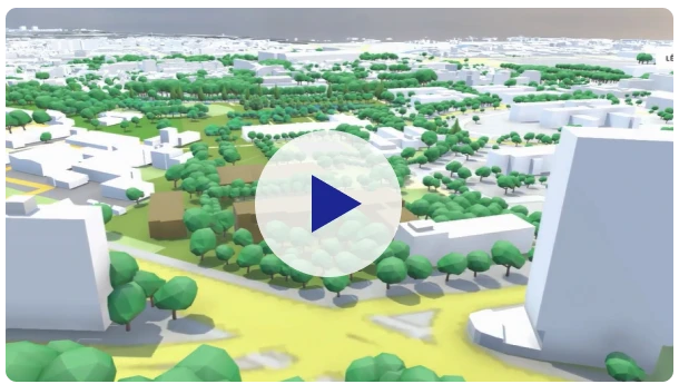
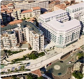
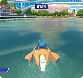
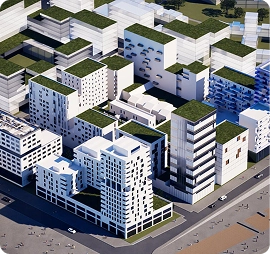
INTERACTIVE APP | 3D | REAL ESTATE
Promoting an urban development project
To promote a 35,000 m² real estate project, the Siradel Studio designed a custom interactive application for Giboire, highlighting key features and impacts of the development.
The project drew on two main areas of expertise:
- Design: persona definition, user journeys, storytelling, UX/UI
- 3D: environmental modeling and visual rendering
A collaborative project combining design and 3D visualization to support project adoption by key stakeholders.