At Siradel, we believe in the power of data. For over 30 years, we’ve been helping organizations unlock its full potential.
Using our expertise and innovative solutions in geodata modeling, processing, and visualization, we empower our clients to make better, more informed decisions.
Founded in 1994, Siradel quickly became a leader in geodata and radio software development. We set the standard in telecom network design (5G, 6G, RIS, NTN…) with our revolutionary radio propagation model, Volcano.
But our journey goes far beyond telecom. Our expertise in geospatial data modeling, powered by terrestrial observations, AI, and cutting-edge algorithms, has made us a trusted partner across multiple industries.
From cities and local authorities to agriculture, defense, transport, and real estate—every day, we craft custom geospatial data solutions that help our clients unlock the full potential of their data and make more informed decisions in a rapidly changing world.


0
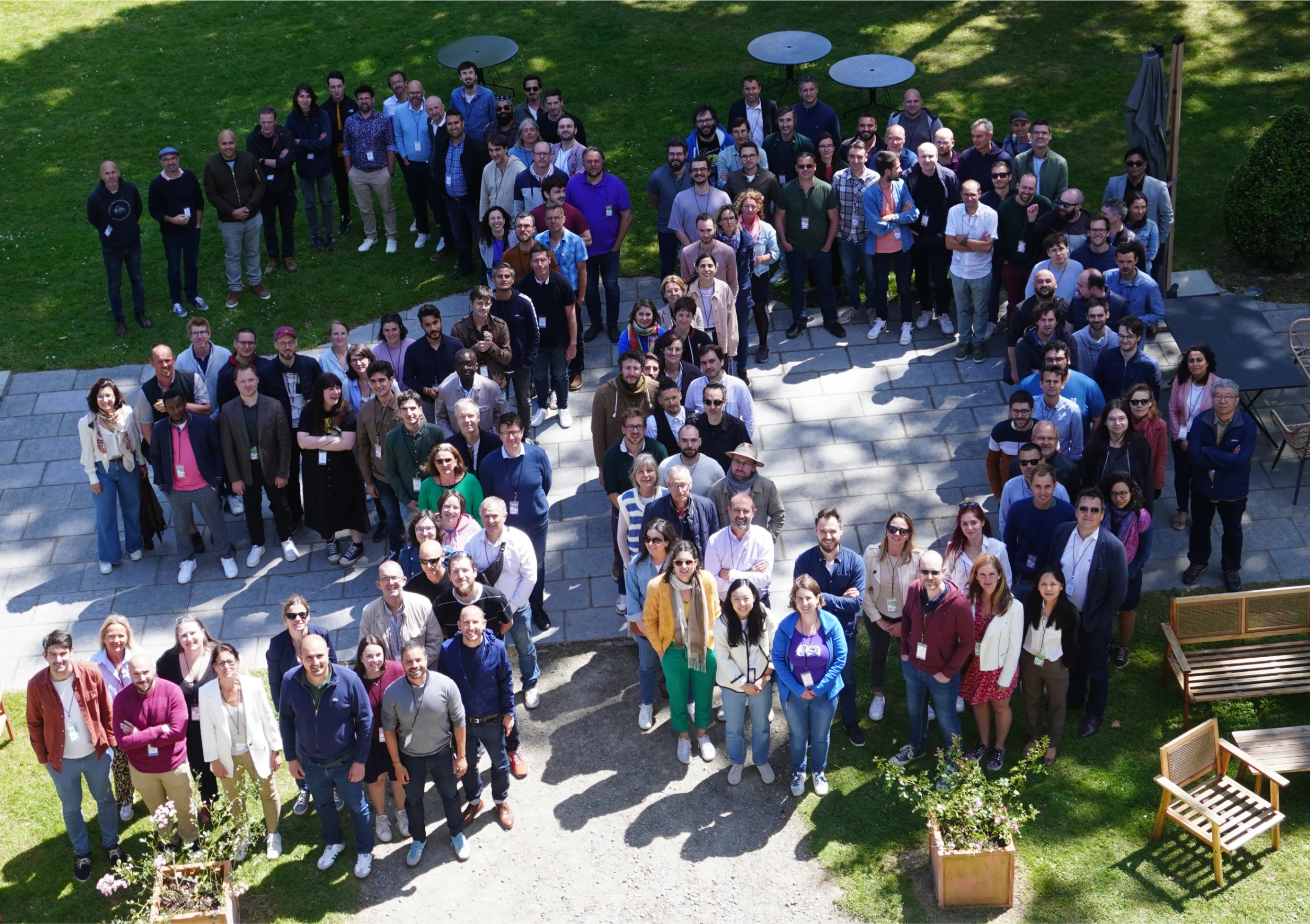
committed employees

0%
professional equality

0
years of expertise

“SIRADEL supports telecom operators and infrastructure stakeholders in planning, deploying and operating more efficient networks.
Powered by trusted 3D technology and committed teams, we turn data into operational decisions for smarter territories”


Producing 3D data for unmatched project modeling precision and quality.

Analyzing and processing geospatial data through advanced AI, deep learning, and machine learning algorithms.

Building a robust 2D/3D geo-visualizer for rapid deployment of geospatial data projects.

Creating digital platforms and immersive 3D tools delivering dynamic mapping, interactive visualization, and data analysis.

Developing cutting-edge software for radio propagation, coverage simulation and mobile infrastructure optimization.

Using proven methodologies and expert project managers to drive complex projects from data engineering to digital solutions integration.
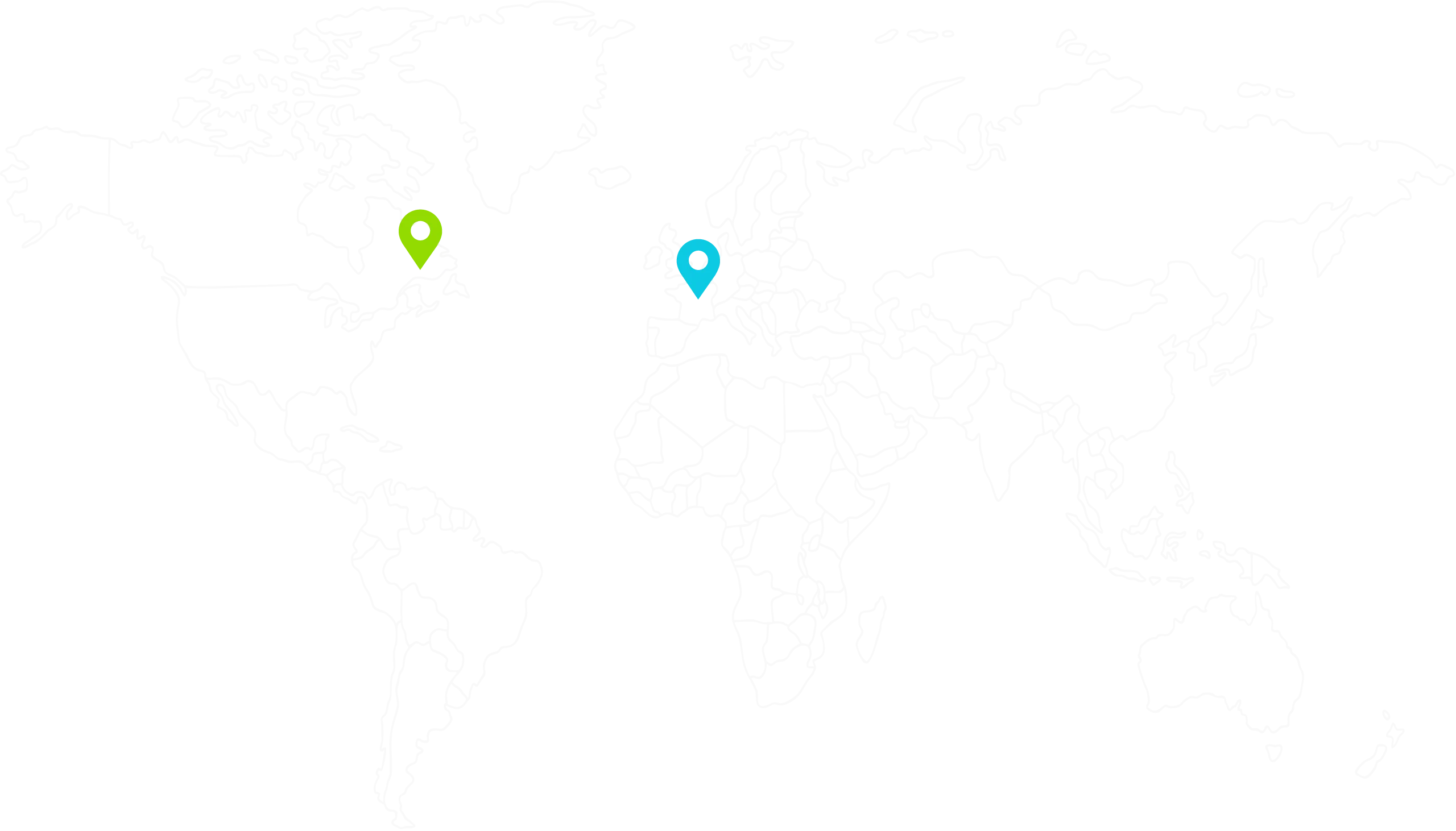
With headquarters in Rennes and offices in Canada, we support over 300 clients across 60 countries.